
- GeoData
- » Recreation + access
| Date: | 2004 |
|---|---|
| Project: | UC0608 |
| Client: | Countryside Agency |
Section 15 land mapping
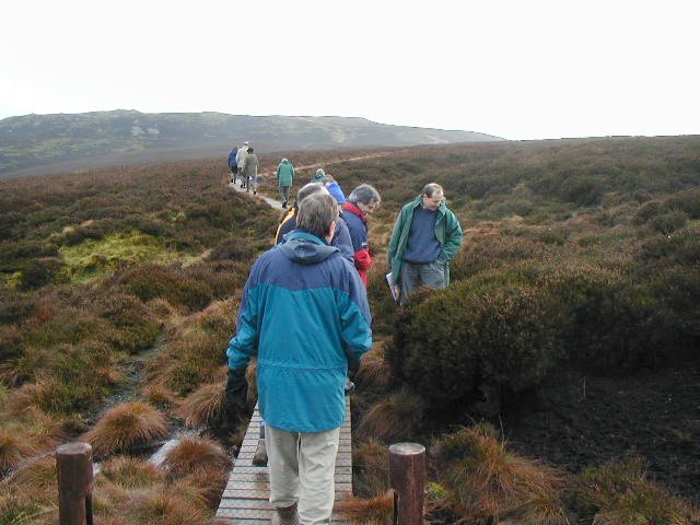
Section 15 of the Countryside and Rights of Way Act 2000 identifies land to which the public has rights of access under earlier Acts and agreements. Mapping this land is critical to the operation of the restrictions regime accompanying the new access.
GeoData has undertaken the archive research to identify the earlier Acts and Deeds, copied these to form the basis for boundary mapping. The process has included rectification and georegistration of archive documents and the creation of vector boundaries of the sites. These sites include; commons that were within urban districts in 1974, land dedicated under the Law of Property Act of 1925 and Access Agreements under the Wildlife and Countryside Act 1949.
The resulting maps provide contribute to the presentation of all the land to which the public have recreational access. We are now progressing to identify the specific rights attached to the individual parcels of land.
Tasks include:
Archive Research
Large format scanning
Rectification and Georegistration
Digitisation