- GeoData
- » Projects
Filter results
Projects Directory
Projects can be filtered by selecting an option from either or both of the drop down boxes on the right and clicking the search button.
 Currently showing 1 project at random.
  Reset
Reset

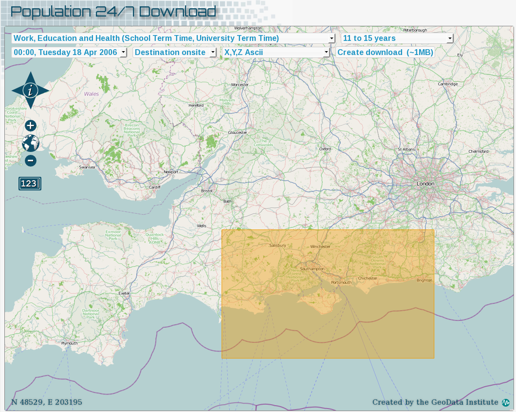
Population 24/7: space-time specific population surface modelling
Many areas of social science research and policy are concerned with the exact locations of population, for example to measure exposure or target resources. Currently available representations effectively estimate population at home addresses, or 'wor...
Year: 2009 - 2011


