
- GeoData
- » International development
| Date: | 1999-2002 |
|---|---|
| Project: | uc9996 |
| Client: | EU-INCO DC Programme |
| Associates: | Jena University, Germany |
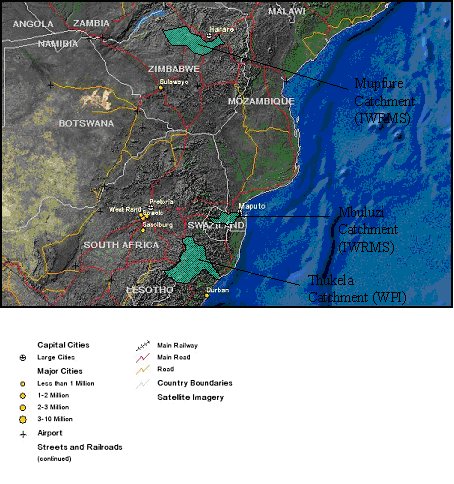
Integrated Water Resource Management System (IWRMS)
GeoData Institute jointly with European and South African partners have examined water resource management with three African river basins at a community level.
The project aims to integrate remote sensing, hydrological ad soil erosion modelling with the socio-economic aspects of water provision in three test catchments to deliver an integrated system to assist in water resource allocation. Test catchments are in South Africa, Zimbabwe and Swaziland